 vesseltracker.com
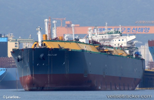
Find the position of the vessel Palu Lng on the map. The latter are known coordinates and path.
marine traffic ship tracker show on live map
The current position of vessel Palu Lng is 40.9283 lat / -49.6767 lng. Updated: 2024-05-05 21:56:20 UTCCurrently sailing under the flag of Malta
Port of registry:
Valletta (capital of Malta)Payload_mass:
89874 tonneGross tonnage:
103885Service entry:
2014-01-01T00:00:00ZManufacturer:
Hanwha Ocean (shipbuilder of South Korea)Details:
Last coordinates of the vessel:
UTC, 41.2167, -48.855, course: -1, speed: 14UTC, 41.1367, -49.085, course: -1, speed: 15
UTC, 41.0983, -49.1933, course: -1, speed: 15
2024-05-05 21:56:20 UTC, 40.9283, -49.6767, course: -1, speed: 16