 vesseltracker.com
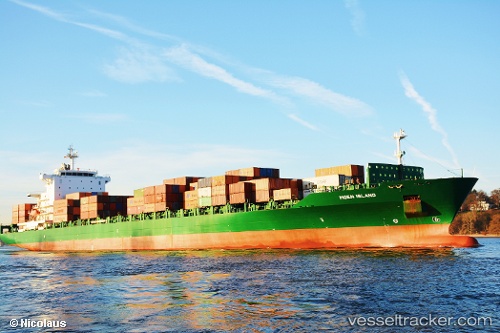
Vessel CMA CGM SAN ANTONIO IMO: 9294173, MMSI: 229734000 Container Ship
UTC, 16.85437, 69.89524, course: 218, speed: 12
UTC, 16.01086, 69.20382, course: 216, speed: 11.8
2026-01-31 13:35:25 UTC, 15.71820, 68.97812, course: 219, speed: 12.2
Live AIS position:
UTC. 259 nm W of RATNAGIRI),
updated 2026-01-31 13:35:25 UTC.
Find the position of the vessel CMA CGM SAN ANTONIO on the map. The latter are known coordinates and path.
marine traffic ship tracker show on live map
The current position of vessel CMA CGM SAN ANTONIO is 15.71820 lat / 68.97812 lng. Updated: 2026-01-31 13:35:25 UTCCurrently sailing under the flag of Malta
CMA CGM SAN ANTONIO built in 2005 year
Deadweight:
39333 tDetails:
Last coordinates of the vessel:
UTC, 16.85437, 69.89524, course: 218, speed: 12UTC, 16.85437, 69.89524, course: 218, speed: 12
UTC, 16.01086, 69.20382, course: 216, speed: 11.8
2026-01-31 13:35:25 UTC, 15.71820, 68.97812, course: 219, speed: 12.2