 vesseltracker.com
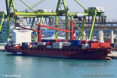
Vessel Santa Loukia IMO: 9634658, MMSI: 229993000 Container Ship
UTC, 6.94833, 79.85263, course: 11, speed: 0
UTC, 6.94828, 79.85258, course: 11, speed: 0
2026-03-03 03:39:53 UTC, 6.94827, 79.85261, course: 11, speed: 0
Live AIS position:
UTC. Near Colombo),
updated 2026-03-03 03:39:53 UTC.
Find the position of the vessel Santa Loukia on the map. The latter are known coordinates and path.
marine traffic ship tracker show on live map
The current position of vessel Santa Loukia is 6.94827 lat / 79.85261 lng. Updated: 2026-03-03 03:39:53 UTCCurrently sailing under the flag of Malta
Details:
Last coordinates of the vessel:
UTC, 6.94831, 79.85256, course: 11, speed: 0UTC, 6.94833, 79.85263, course: 11, speed: 0
UTC, 6.94828, 79.85258, course: 11, speed: 0
2026-03-03 03:39:53 UTC, 6.94827, 79.85261, course: 11, speed: 0