 vesseltracker.com
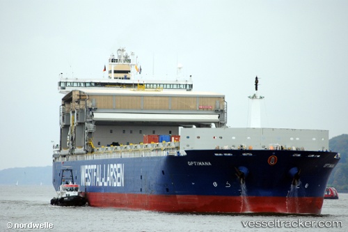
Vessel Optimana IMO: 9253856, MMSI: 232004359 Bulk Carrier
UTC, 54.98643, -1.45330, course: -1, speed: 0
UTC, 55.00972, -1.41868, course: -1, speed: 7.9
2026-03-01 03:33:53 UTC, 54.90128, -0.87277, course: 114, speed: 11.2
Live AIS position:
UTC. 15 nm NE of Tees River),
updated 2026-03-01 03:33:53 UTC.
Find the position of the vessel Optimana on the map. The latter are known coordinates and path.
marine traffic ship tracker show on live map
The current position of vessel Optimana is 54.90128 lat / -0.87277 lng. Updated: 2026-03-01 03:33:53 UTCDetails:
Last coordinates of the vessel:
UTC, 54.98643, -1.45329, course: -1, speed: 0UTC, 54.98643, -1.45330, course: -1, speed: 0
UTC, 55.00972, -1.41868, course: -1, speed: 7.9
2026-03-01 03:33:53 UTC, 54.90128, -0.87277, course: 114, speed: 11.2