 vesseltracker.com
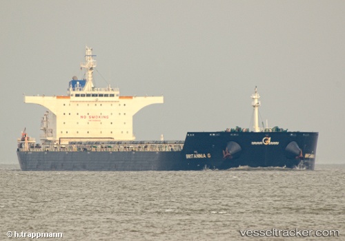
Vessel ANGLO MARIE LOUISE IMO: 9490492, MMSI: 232025145 Bulk Carrier
UTC, 38.97738, 117.76193, course: 357, speed: 0
UTC, 38.97738, 117.76191, course: 357, speed: 0
2026-03-09 17:43:03 UTC, 38.97742, 117.76189, course: 357, speed: 0
Live Vessel ANGLO MARIE LOUISE Analytics (details, animations, etc.)
Live AIS position: UTC. Near Tianjin Pt), updated 2026-03-09 17:43:03 UTC.Find the position of the vessel ANGLO MARIE LOUISE on the map. The latter are known coordinates and path.
marine traffic ship tracker show on live map
The current position of vessel ANGLO MARIE LOUISE is 38.97742 lat / 117.76189 lng. Updated: 2026-03-09 17:43:03 UTCCurrently sailing under the flag of United Kingdom
ANGLO MARIE LOUISE built in 2011 year
Deadweight:
114674 tDetails:
Last coordinates of the vessel:
UTC, 38.97737, 117.76190, course: 357, speed: 0UTC, 38.97738, 117.76193, course: 357, speed: 0
UTC, 38.97738, 117.76191, course: 357, speed: 0
2026-03-09 17:43:03 UTC, 38.97742, 117.76189, course: 357, speed: 0