 vesseltracker.com
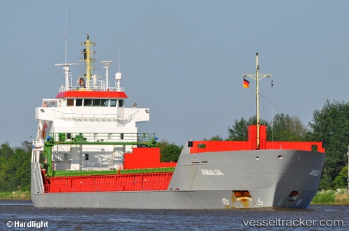
Vessel '232032735' IMO: 9312717, MMSI: 232032735
UTC, 50.36344, -4.15569, course: 323, speed: 0
UTC, 50.36336, -4.15567, course: 323, speed: 0
2026-02-19 02:19:13 UTC, 50.36340, -4.15568, course: 323, speed: 0
Live AIS position:
UTC. Near Plymouth),
updated 2026-02-19 02:19:13 UTC.
Find the position of the vessel '232032735' on the map. The latter are known coordinates and path.
marine traffic ship tracker show on live map
The current position of vessel '232032735' is 50.36340 lat / -4.15568 lng. Updated: 2026-02-19 02:19:13 UTCDetails:
Last coordinates of the vessel:
UTC, 50.36336, -4.15567, course: 323, speed: 0UTC, 50.36344, -4.15569, course: 323, speed: 0
UTC, 50.36336, -4.15567, course: 323, speed: 0
2026-02-19 02:19:13 UTC, 50.36340, -4.15568, course: 323, speed: 0