 vesseltracker.com
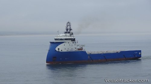
Vessel SPRINGER TIDE IMO: 9656656, MMSI: 232063149 Other Type
UTC, 57.14043, -2.08040, course: 89, speed: 0
UTC, 57.19114, -1.95206, course: 45, speed: 7.4
2026-02-24 08:19:42 UTC, 57.42510, -1.68973, course: 14, speed: 8.6
Live AIS position:
UTC. Near Boddam),
updated 2026-02-24 08:19:42 UTC.
Find the position of the vessel SPRINGER TIDE on the map. The latter are known coordinates and path.
marine traffic ship tracker show on live map
The current position of vessel SPRINGER TIDE is 57.42510 lat / -1.68973 lng. Updated: 2026-02-24 08:19:42 UTCCurrently sailing under the flag of United Kingdom
Details:
Last coordinates of the vessel:
UTC, 57.14046, -2.08044, course: 88, speed: 0UTC, 57.14043, -2.08040, course: 89, speed: 0
UTC, 57.19114, -1.95206, course: 45, speed: 7.4
2026-02-24 08:19:42 UTC, 57.42510, -1.68973, course: 14, speed: 8.6