 vesseltracker.com
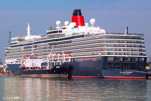
Vessel Whitonia IMO: 9342607, MMSI: 235040503 Oil Products Tanker
UTC, 50.88977, -1.39356, course: -1, speed: 0
UTC, 50.88975, -1.39353, course: -1, speed: 0
2026-03-01 21:34:33 UTC, 50.88978, -1.39353, course: -1, speed: 0
Live AIS position:
UTC. Near Southampton),
updated 2026-03-01 21:34:33 UTC.
Find the position of the vessel Whitonia on the map. The latter are known coordinates and path.
marine traffic ship tracker show on live map
The current position of vessel Whitonia is 50.88978 lat / -1.39353 lng. Updated: 2026-03-01 21:34:33 UTCCurrently sailing under the flag of United Kingdom
Whitonia built in 2007 year
Deadweight:
7511 tDetails:
Last coordinates of the vessel:
UTC, 50.88978, -1.39356, course: -1, speed: 0UTC, 50.88977, -1.39356, course: -1, speed: 0
UTC, 50.88975, -1.39353, course: -1, speed: 0
2026-03-01 21:34:33 UTC, 50.88978, -1.39353, course: -1, speed: 0