 vesseltracker.com
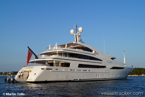
Vessel St David IMO: 1009508, MMSI: 235066164 Service Ship
UTC, 18.03086, -63.10910, course: 69, speed: 0
UTC, 18.03054, -63.10900, course: 74, speed: 0
2026-01-19 13:43:55 UTC, 18.03062, -63.10912, course: 57, speed: 0
Live AIS position:
UTC. Near ST MAARTEN),
updated 2026-01-19 13:43:55 UTC.
Find the position of the vessel St David on the map. The latter are known coordinates and path.
marine traffic ship tracker show on live map
The current position of vessel St David is 18.03062 lat / -63.10912 lng. Updated: 2026-01-19 13:43:55 UTCDetails:
Last coordinates of the vessel:
UTC, 18.03110, -63.10904, course: 88, speed: 0UTC, 18.03086, -63.10910, course: 69, speed: 0
UTC, 18.03054, -63.10900, course: 74, speed: 0
2026-01-19 13:43:55 UTC, 18.03062, -63.10912, course: 57, speed: 0