 vesseltracker.com
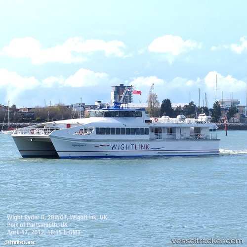
Vessel Wight Ryder 2 IMO: 9512549, MMSI: 235069877 Passenger Ship
UTC, 50.84365, -1.11328, course: -1, speed: 0
UTC, 50.84363, -1.11330, course: -1, speed: 0
2026-02-28 05:58:09 UTC, 50.84364, -1.11320, course: -1, speed: 0
Live AIS position:
UTC. Near SOLENT),
updated 2026-02-28 05:58:09 UTC.
Find the position of the vessel Wight Ryder 2 on the map. The latter are known coordinates and path.
marine traffic ship tracker show on live map
The current position of vessel Wight Ryder 2 is 50.84364 lat / -1.11320 lng. Updated: 2026-02-28 05:58:09 UTCCurrently sailing under the flag of United Kingdom
Wight Ryder 2 built in 2009 year
Deadweight:
130 tDetails:
Last coordinates of the vessel:
UTC, 50.84366, -1.11335, course: -1, speed: 0UTC, 50.84365, -1.11328, course: -1, speed: 0
UTC, 50.84363, -1.11330, course: -1, speed: 0
2026-02-28 05:58:09 UTC, 50.84364, -1.11320, course: -1, speed: 0