 vesseltracker.com
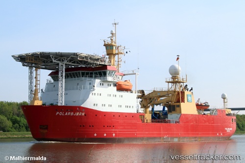
Hms Protector
Current StatusWhere is the vessel?
Hms Protector is currently in Near Middlesbrough, based on AIS data received about 19h ago.
Latest AIS update:
Current position: 54.58875° N, 1.18641° W (Near Middlesbrough)
Average speed (last 7 days): Loading…
Average speed (last 30 days): Loading…
Vessel profile: Hms Protector is a Naval Naval Auxiliary with dimensions 18m x 90m.
This page combines live AIS, route history, probable destination signals, nearby traffic, and port activity for practical vessel monitoring.
The current position of vessel Hms Protector is 54.58875 lat / -1.18641 lng. Updated: 2026-04-20 06:13:37 UTCNearest reference points:
- Near TYNE
- Near Blyth
- Near Hessle/Hull
Details:
Live Vessel Hms Protector Analytics (details, animations, etc.)
Recent AIS points (UTC):
2026-04-20 06:13:37 UTC · 54.58875, -1.18641 · SOG 0 kn · COG 44°2026-04-20 06:13:37 UTC · 54.58875, -1.18641 · SOG 0 kn · COG 44°
2026-04-20 06:13:37 UTC · 54.58875, -1.18641 · SOG 0 kn · COG 44°
2026-04-20 06:13:37 UTC · 54.58875, -1.18641 · SOG 0 kn · COG 44°