 vesseltracker.com
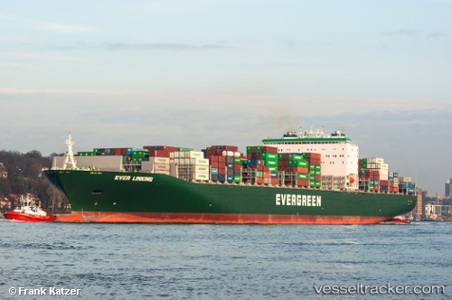
Vessel Ever Linking IMO: 9629043, MMSI: 235098383 Container Ship
UTC, 22.15945, 117.04220, course: 78, speed: 17.1
UTC, 22.19352, 117.33106, course: 84, speed: 17.1
2026-01-19 03:42:04 UTC, 22.27425, 118.00809, course: 79, speed: 17.3
Live AIS position:
UTC. 72 nm S of Nanao Pt),
updated 2026-01-19 03:42:04 UTC.
Find the position of the vessel Ever Linking on the map. The latter are known coordinates and path.
marine traffic ship tracker show on live map
The current position of vessel Ever Linking is 22.27425 lat / 118.00809 lng. Updated: 2026-01-19 03:42:04 UTCCurrently sailing under the flag of United Kingdom
Ever Linking built in 2013 year
Deadweight:
104701 tDetails:
Last coordinates of the vessel:
UTC, 22.13288, 116.84281, course: 85, speed: 14.5UTC, 22.15945, 117.04220, course: 78, speed: 17.1
UTC, 22.19352, 117.33106, course: 84, speed: 17.1
2026-01-19 03:42:04 UTC, 22.27425, 118.00809, course: 79, speed: 17.3