 vesseltracker.com
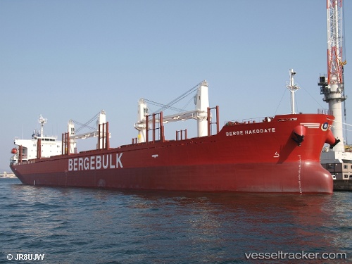
Vessel Berge Hakodate IMO: 9713167, MMSI: 235110509 Bulk Carrier
UTC, -18.10124, 116.74053, course: 355, speed: 11.6
UTC, -17.50068, 116.67656, course: 353, speed: 11.3
2026-02-03 18:06:39 UTC, -17.21689, 116.64564, course: 356, speed: 11.7
Live AIS position:
UTC. 123 nm N of Mutineer),
updated 2026-02-03 18:06:39 UTC.
Find the position of the vessel Berge Hakodate on the map. The latter are known coordinates and path.
marine traffic ship tracker show on live map
The current position of vessel Berge Hakodate is -17.21689 lat / 116.64564 lng. Updated: 2026-02-03 18:06:39 UTCCurrently sailing under the flag of United Kingdom
Details:
Last coordinates of the vessel:
UTC, -18.39747, 116.77506, course: 356, speed: 12.1UTC, -18.10124, 116.74053, course: 355, speed: 11.6
UTC, -17.50068, 116.67656, course: 353, speed: 11.3
2026-02-03 18:06:39 UTC, -17.21689, 116.64564, course: 356, speed: 11.7