 vesseltracker.com
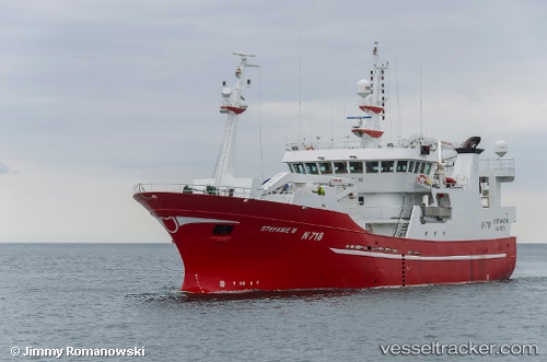
Find the position of the vessel Stefanie M on the map. The latter are known coordinates and path.
marine traffic ship tracker show on live map
The current position of vessel Stefanie M is 57.7203 lat / 10.6033 lng. Updated: 2024-04-28 16:04:35 UTCCurrently sailing under the flag of United Kingdom
Stefanie M built in 2005 year
Deadweight:
992 tGross tonnage:
834Service entry:
2005-01-01T00:00:00ZDetails:
Last coordinates of the vessel:
UTC, 57.7203, 10.6034, course: 139, speed: 0UTC, 57.7203, 10.6033, course: 139, speed: 0
UTC, 57.7203, 10.6034, course: 139, speed: 0
2024-04-28 16:04:35 UTC, 57.7203, 10.6033, course: 140, speed: 0