 vesseltracker.com
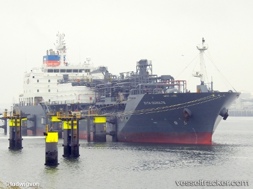
Find the position of the vessel Zita Schulte on the map. The latter are known coordinates and path.
marine traffic ship tracker show on live map
The current position of vessel Zita Schulte is 10.32914 lat / -75.51134 lng. Updated: 2025-09-30 18:49:44 UTCCurrently sailing under the flag of United Kingdom
Details:
Last coordinates of the vessel:
UTC, 10.32912, -75.51135, course: 89, speed: 0UTC, 10.32911, -75.51135, course: 89, speed: 0
UTC, 10.32913, -75.51134, course: 89, speed: 0
2025-09-30 18:49:44 UTC, 10.32914, -75.51134, course: 89, speed: 0