 vesseltracker.com
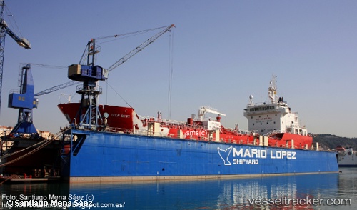
Find the position of the vessel Iver Best on the map. The latter are known coordinates and path.
marine traffic ship tracker show on live map
The current position of vessel Iver Best is 41.0827 lat / 1.21854 lng. Updated: 2024-12-23 18:42:18 UTCCurrently sailing under the flag of Gibraltar
Iver Best built in 2011 year
Port of registry:
Gibraltar (British overseas territory on the coast of Spain)Deadweight:
6187 tPayload_mass:
6100 tonneGross tonnage:
5948Service entry:
2011-01-01T00:00:00ZManufacturer:
Hyundai Mipo Dockyard (South Korean shipbuilding company)Details:
Last coordinates of the vessel:
UTC, 41.0827, 1.21854, course: 227, speed: 0.1UTC, 41.0827, 1.21856, course: 227, speed: 0
UTC, 41.0827, 1.21853, course: 227, speed: 0
2024-12-23 18:42:18 UTC, 41.0827, 1.21854, course: 227, speed: 0.1