 vesseltracker.com
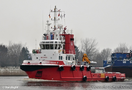
Vessel Neptune Mariner IMO: 9481037, MMSI: 236491000 Tug
UTC, 12.11032, -68.92290, course: 157, speed: 0
UTC, 12.11030, -68.92295, course: 158, speed: 0
2026-01-19 23:25:40 UTC, 12.11032, -68.92293, course: 157, speed: 0
Live AIS position:
UTC. Near Willemstad),
updated 2026-01-19 23:25:40 UTC.
Find the position of the vessel Neptune Mariner on the map. The latter are known coordinates and path.
marine traffic ship tracker show on live map
The current position of vessel Neptune Mariner is 12.11032 lat / -68.92293 lng. Updated: 2026-01-19 23:25:40 UTCDetails:
Last coordinates of the vessel:
UTC, 12.11033, -68.92292, course: 157, speed: 0UTC, 12.11032, -68.92290, course: 157, speed: 0
UTC, 12.11030, -68.92295, course: 158, speed: 0
2026-01-19 23:25:40 UTC, 12.11032, -68.92293, course: 157, speed: 0