 vesseltracker.com
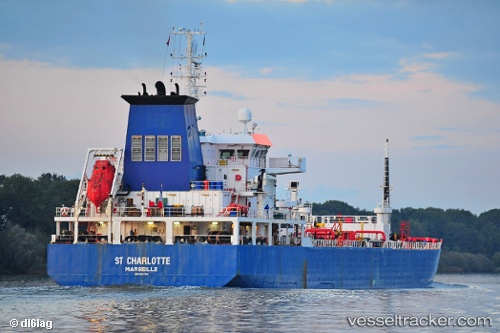
Vessel Iver Ability IMO: 9327504, MMSI: 236662000 Bitumen Tanker
UTC, 51.45770, 3.67469, course: 331, speed: 0
UTC, 51.45770, 3.67469, course: 331, speed: 0
2026-02-13 09:06:13 UTC, 51.45770, 3.67469, course: 331, speed: 0
Live AIS position:
UTC. Near Ritthem),
updated 2026-02-13 09:06:13 UTC.
Find the position of the vessel Iver Ability on the map. The latter are known coordinates and path.
marine traffic ship tracker show on live map
The current position of vessel Iver Ability is 51.45770 lat / 3.67469 lng. Updated: 2026-02-13 09:06:13 UTCCurrently sailing under the flag of Gibraltar
Iver Ability built in 2006 year
Deadweight:
12497 tDetails:
Last coordinates of the vessel:
UTC, 51.45759, 3.67470, course: 331, speed: 0UTC, 51.45770, 3.67469, course: 331, speed: 0
UTC, 51.45770, 3.67469, course: 331, speed: 0
2026-02-13 09:06:13 UTC, 51.45770, 3.67469, course: 331, speed: 0