 vesseltracker.com
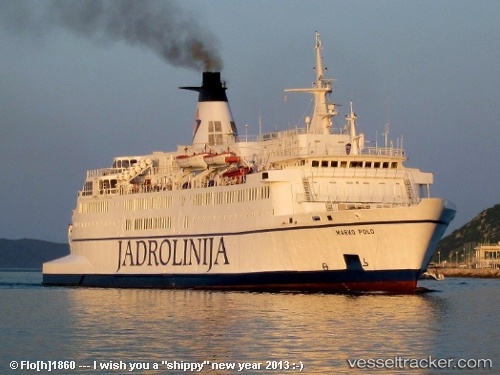
Vessel Marko Polo IMO: 7230599, MMSI: 238144000 Passenger Ro Ro Cargo Ship
UTC, 43.13623, 16.32833, course: 312, speed: 16.6
UTC, 43.13623, 16.32833, course: 312, speed: 16.6
2026-01-16 17:06:37 UTC, 43.13623, 16.32833, course: 312, speed: 16.6
Live AIS position:
UTC. Near Drvenik),
updated 2026-01-16 17:06:37 UTC.
Find the position of the vessel Marko Polo on the map. The latter are known coordinates and path.
marine traffic ship tracker show on live map
The current position of vessel Marko Polo is 43.13623 lat / 16.32833 lng. Updated: 2026-01-16 17:06:37 UTCCurrently sailing under the flag of Croatia
Marko Polo built in 1973 year
Deadweight:
1132 tDetails:
Last coordinates of the vessel:
UTC, 43.13623, 16.32833, course: 312, speed: 16.6UTC, 43.13623, 16.32833, course: 312, speed: 16.6
UTC, 43.13623, 16.32833, course: 312, speed: 16.6
2026-01-16 17:06:37 UTC, 43.13623, 16.32833, course: 312, speed: 16.6