 vesseltracker.com
Live AIS position:
27.71770° N, 96.84862° W UTC. 13 nm SE of Port Aransas),
updated 2025-11-19 14:57:54 UTC.
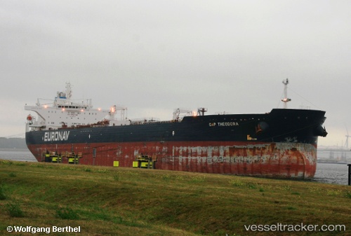
Find the position of the vessel Cap Theodora on the map. The latter are known coordinates and path.
marine traffic ship tracker show on live map
The current position of vessel Cap Theodora is 27.71770 lat / -96.84862 lng. Updated: 2025-11-19 14:57:54 UTCDetails:
Last coordinates of the vessel:
UTC, 27.74248, -96.87852, course: 129, speed: 12.4UTC, 27.73648, -96.87132, course: 136, speed: 12.4
UTC, 27.72170, -96.85345, course: 135, speed: 12.7
2025-11-19 14:57:54 UTC, 27.71770, -96.84862, course: 131, speed: 12.8