 vesseltracker.com
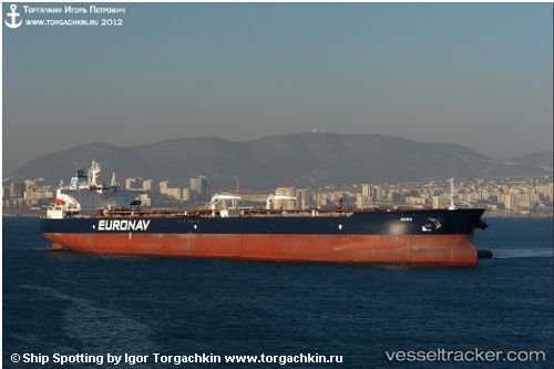
Find the position of the vessel Maria on the map. The latter are known coordinates and path.
marine traffic ship tracker show on live map
The current position of vessel Maria is 1.24312 lat / 103.92408 lng. Updated: 2025-10-19 13:03:40 UTCCurrently sailing under the flag of Greece
Maria built in 2012 year
Deadweight:
159600 tDetails:
Last coordinates of the vessel:
UTC, 1.24590, 103.92755, course: 221, speed: 0UTC, 1.24588, 103.92478, course: 137, speed: 0.3
UTC, 1.24467, 103.92350, course: 96, speed: 0.1
2025-10-19 13:03:40 UTC, 1.24312, 103.92408, course: 58, speed: 0.2