 vesseltracker.com
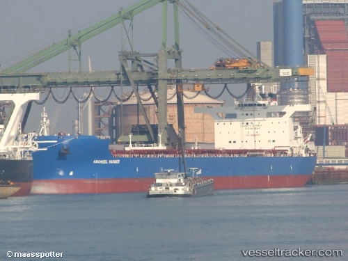
Vessel Anangel Mariner IMO: 9439072, MMSI: 241106000 Bulk Carrier
UTC, -17.03660, 117.76683, course: 345, speed: 11.4
UTC, -16.62667, 117.65833, course: -1, speed: 11
2026-01-29 19:26:37 UTC, -16.31833, 117.57167, course: -1, speed: 11
Live AIS position:
UTC. 186 nm N of Mutineer),
updated 2026-01-29 19:26:37 UTC.
Find the position of the vessel Anangel Mariner on the map. The latter are known coordinates and path.
marine traffic ship tracker show on live map
The current position of vessel Anangel Mariner is -16.31833 lat / 117.57167 lng. Updated: 2026-01-29 19:26:37 UTCDetails:
Last coordinates of the vessel:
UTC, -17.28833, 117.83333, course: -1, speed: 11UTC, -17.03660, 117.76683, course: 345, speed: 11.4
UTC, -16.62667, 117.65833, course: -1, speed: 11
2026-01-29 19:26:37 UTC, -16.31833, 117.57167, course: -1, speed: 11