 vesseltracker.com
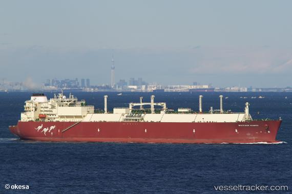
Vessel Woodside Rogers IMO: 9627485, MMSI: 241254000 Lng Tanker
UTC, 32.05390, 127.68072, course: 198, speed: 18.9
UTC, 31.74057, 127.57233, course: 197, speed: 19.3
2026-02-22 11:25:24 UTC, 31.10820, 127.37663, course: 202, speed: 18.5
Live AIS position:
UTC. 130 nm SW of Ulju-gun/Ulsan),
updated 2026-02-22 11:25:24 UTC.
Find the position of the vessel Woodside Rogers on the map. The latter are known coordinates and path.
marine traffic ship tracker show on live map
The current position of vessel Woodside Rogers is 31.10820 lat / 127.37663 lng. Updated: 2026-02-22 11:25:24 UTCDetails:
Last coordinates of the vessel:
UTC, 32.77352, 127.94769, course: 198, speed: 18.3UTC, 32.05390, 127.68072, course: 198, speed: 18.9
UTC, 31.74057, 127.57233, course: 197, speed: 19.3
2026-02-22 11:25:24 UTC, 31.10820, 127.37663, course: 202, speed: 18.5