 vesseltracker.com
Find the position of the vessel Aqua Blue on the map. The latter are known coordinates and path.
marine traffic ship tracker show on live map
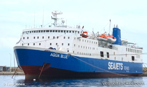
The current position of vessel Aqua Blue is 40.9314 lat / 24.4111 lng. Updated: 2024-05-05 10:00:05 UTCCurrently sailing under the flag of Greece
Aqua Blue built in 1975 year
Deadweight:
2250 tManufacturer:
Kanda DockyardDetails:
Last coordinates of the vessel:
UTC, 40.9314, 24.4111, course: 261, speed: 0UTC, 40.9314, 24.4111, course: 261, speed: 0
UTC, 40.9314, 24.4111, course: 265, speed: 0
2024-05-05 10:00:05 UTC, 40.9314, 24.4111, course: 261, speed: 0