 vesseltracker.com
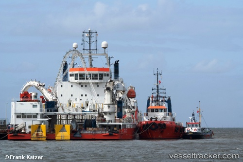
Find the position of the vessel ATALANTI on the map. The latter are known coordinates and path.
marine traffic ship tracker show on live map
The current position of vessel ATALANTI is 53.87624 lat / 8.70594 lng. Updated: 2025-10-10 20:33:04 UTCCurrently sailing under the flag of Greece
ATALANTI built in 2008 year
Deadweight:
5971 tDetails:
Last coordinates of the vessel:
UTC, 53.87623, 8.70593, course: 324, speed: 0UTC, 53.87625, 8.70594, course: 324, speed: 0
UTC, 53.87624, 8.70594, course: 324, speed: 0
2025-10-10 20:33:04 UTC, 53.87624, 8.70594, course: 324, speed: 0