 vesseltracker.com
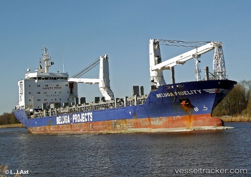
Vessel Heerengracht IMO: 9435753, MMSI: 244014000 Heavy Load Carrier
UTC, 45.55667, -1.04833, course: -1, speed: 0
UTC, 45.55833, -1.04667, course: -1, speed: 0
2026-01-17 14:35:05 UTC, 45.55833, -1.04667, course: -1, speed: 0
Live AIS position:
UTC. Near LE VERDON-SUR-MER),
updated 2026-01-17 14:35:05 UTC.
Find the position of the vessel Heerengracht on the map. The latter are known coordinates and path.
marine traffic ship tracker show on live map
The current position of vessel Heerengracht is 45.55833 lat / -1.04667 lng. Updated: 2026-01-17 14:35:05 UTCCurrently sailing under the flag of Netherlands
Heerengracht built in 2009 year
Deadweight:
12678 tDetails:
Last coordinates of the vessel:
UTC, 45.55667, -1.04667, course: -1, speed: 0UTC, 45.55667, -1.04833, course: -1, speed: 0
UTC, 45.55833, -1.04667, course: -1, speed: 0
2026-01-17 14:35:05 UTC, 45.55833, -1.04667, course: -1, speed: 0