 vesseltracker.com
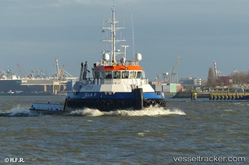
Find the position of the vessel Ella F on the map. The latter are known coordinates and path.
marine traffic ship tracker show on live map
The current position of vessel Ella F is 51.81833 lat / 4.69667 lng. Updated: 2025-10-31 08:00:47 UTCCurrently sailing under the flag of Netherlands
Details:
Last coordinates of the vessel:
UTC, 51.81912, 4.69826, course: 309, speed: 0UTC, 51.81910, 4.69827, course: 309, speed: 0
UTC, 51.81910, 4.69830, course: 309, speed: 0
2025-10-31 08:00:47 UTC, 51.81833, 4.69667, course: -1, speed: 0