 vesseltracker.com
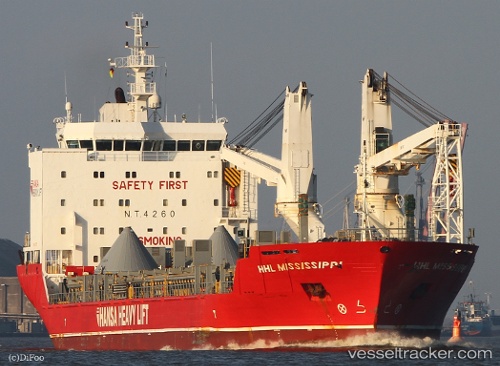
Vessel Houtmangracht IMO: 9435765, MMSI: 244022000 Heavy Load Carrier
UTC, 50.34228, -128.70505, course: 324, speed: 12.9
UTC, 50.52024, -128.90327, course: 323, speed: 13
2026-01-29 15:37:08 UTC, 50.93476, -129.25002, course: 335, speed: 13.1
Live AIS position:
UTC. 53 nm SE of Falkenberg),
updated 2026-01-29 15:37:08 UTC.
Find the position of the vessel Houtmangracht on the map. The latter are known coordinates and path.
marine traffic ship tracker show on live map
The current position of vessel Houtmangracht is 50.93476 lat / -129.25002 lng. Updated: 2026-01-29 15:37:08 UTCDetails:
Last coordinates of the vessel:
UTC, 49.86667, -128.14667, course: -1, speed: 13UTC, 50.34228, -128.70505, course: 324, speed: 12.9
UTC, 50.52024, -128.90327, course: 323, speed: 13
2026-01-29 15:37:08 UTC, 50.93476, -129.25002, course: 335, speed: 13.1