 vesseltracker.com
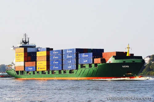
Vessel '244086000' IMO: 9255749, MMSI: 244086000
UTC, 56.72254, 7.40472, course: 102, speed: 1.5
UTC, 56.72203, 7.41402, course: 154, speed: 1.7
2026-01-15 10:43:28 UTC, 56.72167, 7.40202, course: 3, speed: 1.8
Live AIS position:
UTC. 27 nm W of Harboør),
updated 2026-01-15 10:43:28 UTC.
Find the position of the vessel '244086000' on the map. The latter are known coordinates and path.
marine traffic ship tracker show on live map
The current position of vessel '244086000' is 56.72167 lat / 7.40202 lng. Updated: 2026-01-15 10:43:28 UTCDetails:
Last coordinates of the vessel:
UTC, 56.72107, 7.40092, course: 57, speed: 2UTC, 56.72254, 7.40472, course: 102, speed: 1.5
UTC, 56.72203, 7.41402, course: 154, speed: 1.7
2026-01-15 10:43:28 UTC, 56.72167, 7.40202, course: 3, speed: 1.8