 vesseltracker.com
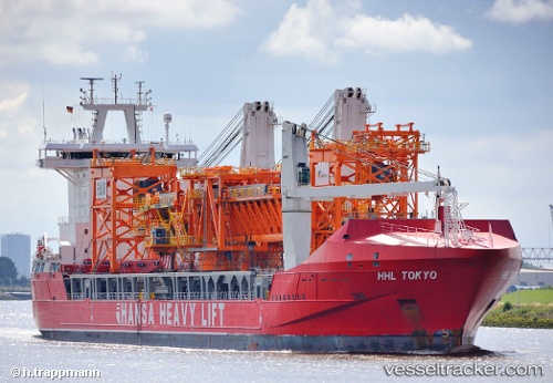
Vessel Paleisgracht IMO: 9448346, MMSI: 244122000 Heavy Load Carrier
UTC, 54.63282, -1.18666, course: 76, speed: 0
UTC, 54.63276, -1.18665, course: 76, speed: 0
2026-01-14 19:52:11 UTC, 54.63284, -1.18672, course: 77, speed: 0
Live AIS position:
UTC. Near TEES),
updated 2026-01-14 19:52:11 UTC.
Find the position of the vessel Paleisgracht on the map. The latter are known coordinates and path.
marine traffic ship tracker show on live map
The current position of vessel Paleisgracht is 54.63284 lat / -1.18672 lng. Updated: 2026-01-14 19:52:11 UTCCurrently sailing under the flag of Netherlands
Paleisgracht built in 2011 year
Deadweight:
19496 tDetails:
Last coordinates of the vessel:
UTC, 54.63278, -1.18670, course: 77, speed: 0UTC, 54.63282, -1.18666, course: 76, speed: 0
UTC, 54.63276, -1.18665, course: 76, speed: 0
2026-01-14 19:52:11 UTC, 54.63284, -1.18672, course: 77, speed: 0