 vesseltracker.com
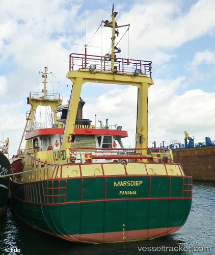
Vessel L0tte Rosalie Uk297 IMO: 8205785, MMSI: 244190093 Standby Safety Vessel
UTC, 52.57029, 5.89670, course: -1, speed: 10.7
2026-02-20 07:45:50 UTC, 52.57029, 5.89670, course: -1, speed: 10.7
Live AIS position:
UTC. Near KAMPEN),
updated 2026-02-20 07:45:50 UTC.
Find the position of the vessel L0tte Rosalie Uk297 on the map. The latter are known coordinates and path.
marine traffic ship tracker show on live map
The current position of vessel L0tte Rosalie Uk297 is 52.57029 lat / 5.89670 lng. Updated: 2026-02-20 07:45:50 UTCCurrently sailing under the flag of Netherlands
L0tte Rosalie Uk297 built in 1983 year
Details:
Last coordinates of the vessel:
UTC, 52.57029, 5.89670, course: -1, speed: 10.7UTC, 52.57029, 5.89670, course: -1, speed: 10.7
2026-02-20 07:45:50 UTC, 52.57029, 5.89670, course: -1, speed: 10.7