 vesseltracker.com
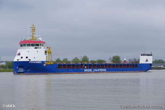
Find the position of the vessel Johannes on the map. The latter are known coordinates and path.
marine traffic ship tracker show on live map
The current position of vessel Johannes is 44.1035 lat / 14.1224 lng. Updated: 2024-05-18 22:37:23 UTCCurrently sailing under the flag of Netherlands
Port of registry:
Scheemda (town and former municipality in the province of Groningen, the Netherlands)Gross tonnage:
3415Operator:
(transport company)Service entry:
2018-01-01T00:00:00ZDetails:
Last coordinates of the vessel:
UTC, 43.5829, 14.6211, course: 320, speed: 11.1UTC, 43.8095, 14.3955, course: 321, speed: 10.8
UTC, 44.0773, 14.1456, course: 323, speed: 11.1
2024-05-18 22:37:23 UTC, 44.1035, 14.1224, course: 325, speed: 11.2