vesseltracker.com
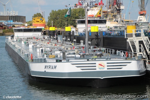
Vessel Myriam IMO: 9602461, MMSI: 244700326 Chemical Oil Products Tanker
UTC, 52.42875, 4.74258, course: 281, speed: 0
UTC, 52.42873, 4.74255, course: 281, speed: 0
2026-01-17 06:20:59 UTC, 52.41532, 4.74198, course: 79, speed: 0
Live AIS position:
UTC. Near IJMOND),
updated 2026-01-17 06:20:59 UTC.
Find the position of the vessel Myriam on the map. The latter are known coordinates and path.
marine traffic ship tracker show on live map
The current position of vessel Myriam is 52.41532 lat / 4.74198 lng. Updated: 2026-01-17 06:20:59 UTCCurrently sailing under the flag of Netherlands
Details:
Last coordinates of the vessel:
UTC, 52.42875, 4.74258, course: 281, speed: 0UTC, 52.42875, 4.74258, course: 281, speed: 0
UTC, 52.42873, 4.74255, course: 281, speed: 0
2026-01-17 06:20:59 UTC, 52.41532, 4.74198, course: 79, speed: 0