 vesseltracker.com
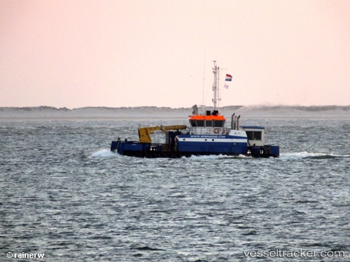
Vessel Coastal Chariot IMO: 9704946, MMSI: 244770069 Work Repair Vessel
UTC, 25.19210, 55.20856, course: 27, speed: 0
UTC, 25.17799, 55.21441, course: 177, speed: 0
2026-01-28 06:06:23 UTC, 25.19061, 55.20895, course: 285, speed: 5.1
Live AIS position:
UTC. Near Jumayrah),
updated 2026-01-28 06:06:23 UTC.
Find the position of the vessel Coastal Chariot on the map. The latter are known coordinates and path.
marine traffic ship tracker show on live map
The current position of vessel Coastal Chariot is 25.19061 lat / 55.20895 lng. Updated: 2026-01-28 06:06:23 UTCDetails:
Last coordinates of the vessel:
UTC, 25.19215, 55.20852, course: 34, speed: 0UTC, 25.19210, 55.20856, course: 27, speed: 0
UTC, 25.17799, 55.21441, course: 177, speed: 0
2026-01-28 06:06:23 UTC, 25.19061, 55.20895, course: 285, speed: 5.1