 vesseltracker.com
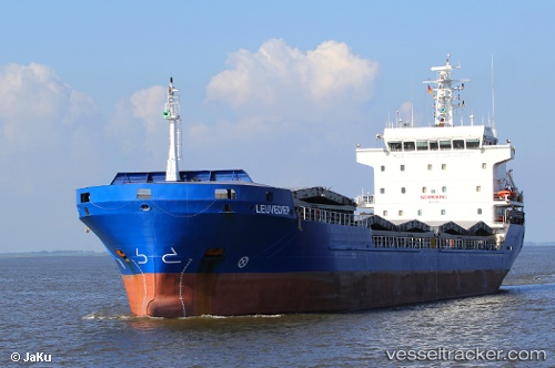
Vessel Manisa Emy IMO: 9421063, MMSI: 244790314 Multi Purpose Carrier
UTC, 53.88722, 9.18164, course: 270, speed: 0
UTC, 53.88722, 9.18163, course: 270, speed: 0
2026-01-13 17:33:00 UTC, 53.88721, 9.18164, course: 271, speed: 0
Live AIS position:
UTC. Near Ostermoor),
updated 2026-01-13 17:33:00 UTC.
Find the position of the vessel Manisa Emy on the map. The latter are known coordinates and path.
marine traffic ship tracker show on live map
The current position of vessel Manisa Emy is 53.88721 lat / 9.18164 lng. Updated: 2026-01-13 17:33:00 UTCDetails:
Last coordinates of the vessel:
UTC, 53.88721, 9.18165, course: 271, speed: 0UTC, 53.88722, 9.18164, course: 270, speed: 0
UTC, 53.88722, 9.18163, course: 270, speed: 0
2026-01-13 17:33:00 UTC, 53.88721, 9.18164, course: 271, speed: 0