 vesseltracker.com
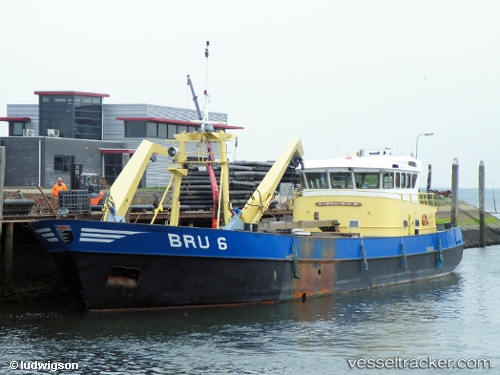
Vessel Bru 36 Johannes Cor IMO: 9179086, MMSI: 244809000 Fishing Vessel
UTC, 51.65167, 4.09833, course: -1, speed: 0
UTC, 51.65167, 4.09833, course: -1, speed: 0
2026-03-01 17:31:51 UTC, 51.65167, 4.09833, course: -1, speed: 0
Live AIS position:
UTC. Near BRUINISSE),
updated 2026-03-01 17:31:51 UTC.
Find the position of the vessel Bru 36 Johannes Cor on the map. The latter are known coordinates and path.
marine traffic ship tracker show on live map
The current position of vessel Bru 36 Johannes Cor is 51.65167 lat / 4.09833 lng. Updated: 2026-03-01 17:31:51 UTCCurrently sailing under the flag of Netherlands
Details:
Last coordinates of the vessel:
UTC, 51.65167, 4.09833, course: -1, speed: 0UTC, 51.65167, 4.09833, course: -1, speed: 0
UTC, 51.65167, 4.09833, course: -1, speed: 0
2026-03-01 17:31:51 UTC, 51.65167, 4.09833, course: -1, speed: 0