 vesseltracker.com
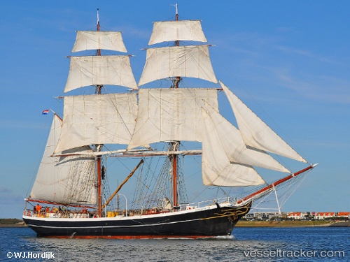
Vessel Morgenster IMO: 5241659, MMSI: 245136000 Sailing Vessel
UTC, 52.95806, 4.77179, course: -1, speed: 0
UTC, 52.95803, 4.77178, course: -1, speed: 0
2026-03-01 11:47:40 UTC, 52.95802, 4.77177, course: -1, speed: 0
Live AIS position:
UTC. Near Den Helder),
updated 2026-03-01 11:47:40 UTC.
Find the position of the vessel Morgenster on the map. The latter are known coordinates and path.
marine traffic ship tracker show on live map
The current position of vessel Morgenster is 52.95802 lat / 4.77177 lng. Updated: 2026-03-01 11:47:40 UTCCurrently sailing under the flag of Netherlands
Morgenster built in 1919 year
Details:
Last coordinates of the vessel:
UTC, 52.95806, 4.77176, course: -1, speed: 0UTC, 52.95806, 4.77179, course: -1, speed: 0
UTC, 52.95803, 4.77178, course: -1, speed: 0
2026-03-01 11:47:40 UTC, 52.95802, 4.77177, course: -1, speed: 0