 vesseltracker.com
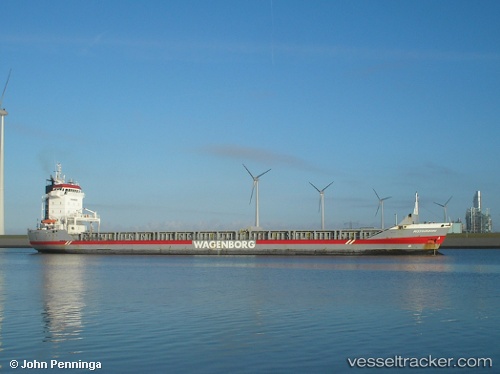
Find the position of the vessel Missouriborg on the map. The latter are known coordinates and path.
marine traffic ship tracker show on live map
The current position of vessel Missouriborg is 39.40215 lat / 0.18168 lng. Updated: 2025-10-03 19:09:34 UTCCurrently sailing under the flag of Netherlands
Missouriborg built in 2000 year
Deadweight:
9150 tDetails:
Last coordinates of the vessel:
UTC, 39.02957, -0.05485, course: 30, speed: 7.2UTC, 39.07375, -0.02761, course: 23, speed: 8
UTC, 39.19797, 0.05022, course: 25, speed: 8.2
2025-10-03 19:09:34 UTC, 39.40215, 0.18168, course: 28, speed: 8.2