 vesseltracker.com
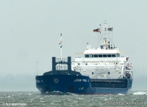
Find the position of the vessel John Paul K on the map. The latter are known coordinates and path.
marine traffic ship tracker show on live map
The current position of vessel John Paul K is 51.9537 lat / 4.15474 lng. Updated: 2025-07-30 16:47:01 UTCCurrently sailing under the flag of Netherlands
John Paul K built in 2002 year
Deadweight:
4247 tDetails:
Last coordinates of the vessel:
UTC, 51.9537, 4.15455, course: 311, speed: 0UTC, 51.9537, 4.15457, course: 311, speed: 0
UTC, 51.9537, 4.15478, course: 310, speed: 0
2025-07-30 16:47:01 UTC, 51.9537, 4.15474, course: 309, speed: 0