 vesseltracker.com
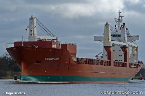
Vessel Snoekgracht IMO: 9202546, MMSI: 245816000 General Cargo Ship
UTC, 17.14824, -61.92387, course: 110, speed: 11.2
UTC, 17.14642, -61.90500, course: 273, speed: 2.9
2026-01-16 18:15:37 UTC, 17.12392, -61.85474, course: 299, speed: 0.5
Live AIS position:
UTC. Near Saint John's),
updated 2026-01-16 18:15:37 UTC.
Find the position of the vessel Snoekgracht on the map. The latter are known coordinates and path.
marine traffic ship tracker show on live map
The current position of vessel Snoekgracht is 17.12392 lat / -61.85474 lng. Updated: 2026-01-16 18:15:37 UTCCurrently sailing under the flag of Netherlands
Snoekgracht built in 2000 year
Deadweight:
21402 tDetails:
Last coordinates of the vessel:
UTC, 17.24544, -62.14779, course: 114, speed: 11.9UTC, 17.14824, -61.92387, course: 110, speed: 11.2
UTC, 17.14642, -61.90500, course: 273, speed: 2.9
2026-01-16 18:15:37 UTC, 17.12392, -61.85474, course: 299, speed: 0.5