 vesseltracker.com
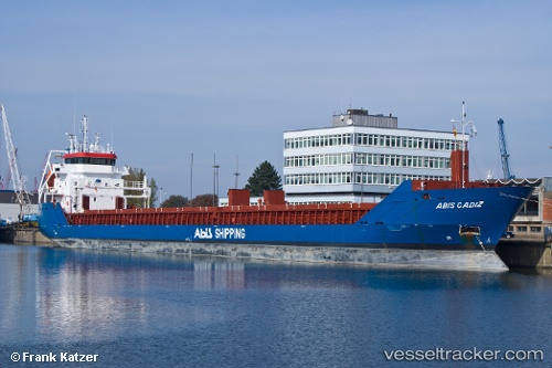
Vessel Longviking IMO: 9547324, MMSI: 245901000 General Cargo Ship
UTC, 55.45851, 12.20255, course: 2, speed: 0
UTC, 55.28948, 12.66141, course: 110, speed: 11.5
2026-03-04 02:21:54 UTC, 55.20743, 13.49375, course: 96, speed: 12.1
Live AIS position:
UTC. 11 nm S of Klagstorp),
updated 2026-03-04 02:21:54 UTC.
Find the position of the vessel Longviking on the map. The latter are known coordinates and path.
marine traffic ship tracker show on live map
The current position of vessel Longviking is 55.20743 lat / 13.49375 lng. Updated: 2026-03-04 02:21:54 UTCCurrently sailing under the flag of Netherlands
Longviking built in 2010 year
Deadweight:
6050 tDetails:
Last coordinates of the vessel:
UTC, 55.45857, 12.20247, course: 1, speed: 0UTC, 55.45851, 12.20255, course: 2, speed: 0
UTC, 55.28948, 12.66141, course: 110, speed: 11.5
2026-03-04 02:21:54 UTC, 55.20743, 13.49375, course: 96, speed: 12.1