 vesseltracker.com
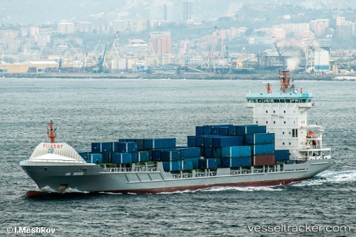
Vessel Rotra Mare IMO: 9365996, MMSI: 246051000 Heavy Load Carrier
UTC, 49.48092, 0.12320, course: 102, speed: 0
UTC, 49.49458, 0.02576, course: 263, speed: 13.5
2026-01-16 06:55:23 UTC, 49.53303, -0.15096, course: 285, speed: 5.4
Live AIS position:
UTC. Near Saint-Martin-du-Manoir),
updated 2026-01-16 06:55:23 UTC.
Find the position of the vessel Rotra Mare on the map. The latter are known coordinates and path.
marine traffic ship tracker show on live map
The current position of vessel Rotra Mare is 49.53303 lat / -0.15096 lng. Updated: 2026-01-16 06:55:23 UTCCurrently sailing under the flag of Netherlands
Rotra Mare built in 2008 year
Deadweight:
9620 tDetails:
Last coordinates of the vessel:
UTC, 49.48092, 0.12320, course: 102, speed: 0UTC, 49.48092, 0.12320, course: 102, speed: 0
UTC, 49.49458, 0.02576, course: 263, speed: 13.5
2026-01-16 06:55:23 UTC, 49.53303, -0.15096, course: 285, speed: 5.4