 vesseltracker.com
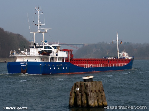
Find the position of the vessel Marry s on the map. The latter are known coordinates and path.
marine traffic ship tracker show on live map
The current position of vessel Marry s is 52.3985 lat / 4.86004 lng. Updated: 2024-04-28 17:34:29 UTCCurrently sailing under the flag of Netherlands
Marry s built in 1997 year
Deadweight:
3471 tPayload_mass:
3471 tonneGross tonnage:
2375Beam:
12.4 metreService entry:
1997-01-01T00:00:00ZManufacturer:
Thecla Bodewes Shipyards (Dutch shipbuilding company)Details:
Last coordinates of the vessel:
UTC, 52.3985, 4.85999, course: 36, speed: 0UTC, 52.3985, 4.86005, course: 36, speed: 0
UTC, 52.3986, 4.86007, course: 36, speed: 0
2024-04-28 17:34:29 UTC, 52.3985, 4.86004, course: 36, speed: 0