 vesseltracker.com
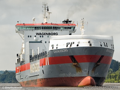
Vessel Oranjeborg IMO: 9232797, MMSI: 246265000 Ro Ro Cargo Ship
UTC, 39.00887, -75.22823, course: 320, speed: 0.4
UTC, 39.00898, -75.22835, course: 296, speed: 0.1
2026-02-09 05:48:29 UTC, 39.00850, -75.22907, course: 349, speed: 0.4
Live AIS position:
UTC. Near Big Stone),
updated 2026-02-09 05:48:29 UTC.
Find the position of the vessel Oranjeborg on the map. The latter are known coordinates and path.
marine traffic ship tracker show on live map
The current position of vessel Oranjeborg is 39.00850 lat / -75.22907 lng. Updated: 2026-02-09 05:48:29 UTCDetails:
Last coordinates of the vessel:
UTC, 39.00880, -75.22832, course: 322, speed: 0.1UTC, 39.00887, -75.22823, course: 320, speed: 0.4
UTC, 39.00898, -75.22835, course: 296, speed: 0.1
2026-02-09 05:48:29 UTC, 39.00850, -75.22907, course: 349, speed: 0.4