 vesseltracker.com
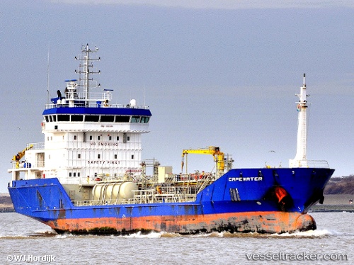
Vessel Capewater IMO: 9423841, MMSI: 246346000 Chemical Oil Products Tanker
UTC, 52.46008, 4.10992, course: 213, speed: 0.1
UTC, 52.45880, 4.11042, course: 287, speed: 0
2026-03-14 06:14:28 UTC, 52.45840, 4.10986, course: 328, speed: 0.1
Live Vessel Capewater Analytics (details, animations, etc.)
Live AIS position: UTC. Near de Ruyter), updated 2026-03-14 06:14:28 UTC.Find the position of the vessel Capewater on the map. The latter are known coordinates and path.
marine traffic ship tracker show on live map
The current position of vessel Capewater is 52.45840 lat / 4.10986 lng. Updated: 2026-03-14 06:14:28 UTCCurrently sailing under the flag of Netherlands
Capewater built in 2009 year
Deadweight:
5180 tDetails:
Last coordinates of the vessel:
UTC, 52.46006, 4.11002, course: -1, speed: 0.2UTC, 52.46008, 4.10992, course: 213, speed: 0.1
UTC, 52.45880, 4.11042, course: 287, speed: 0
2026-03-14 06:14:28 UTC, 52.45840, 4.10986, course: 328, speed: 0.1