 vesseltracker.com
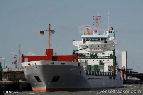
Find the position of the vessel MANISA KRISTIN on the map. The latter are known coordinates and path.
marine traffic ship tracker show on live map
The current position of vessel MANISA KRISTIN is 51.8904 lat / 4.41202 lng. Updated: 2025-06-05 12:29:51 UTCCurrently sailing under the flag of Netherlands
MANISA KRISTIN built in 2000 year
Deadweight:
9100 tDetails:
Last coordinates of the vessel:
2025-06-05 12:29:51 UTC, 51.8904, 4.41202, course: -1, speed: 0The ship also appears on the maps: