 vesseltracker.com
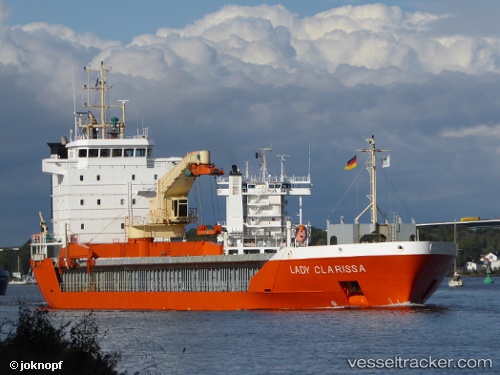
Vessel Lady Clarissa IMO: 9201803, MMSI: 246447000 General Cargo Ship
UTC, 64.65974, 24.40814, course: 280, speed: 0
UTC, 64.65971, 24.40816, course: 280, speed: 0
2026-01-15 12:12:37 UTC, 64.65970, 24.40817, course: 281, speed: 0
Live AIS position:
UTC. Near VIRPIPERA),
updated 2026-01-15 12:12:37 UTC.
Find the position of the vessel Lady Clarissa on the map. The latter are known coordinates and path.
marine traffic ship tracker show on live map
The current position of vessel Lady Clarissa is 64.65970 lat / 24.40817 lng. Updated: 2026-01-15 12:12:37 UTCCurrently sailing under the flag of Netherlands
Lady Clarissa built in 2000 year
Deadweight:
5375 tDetails:
Last coordinates of the vessel:
UTC, 64.65973, 24.40826, course: 283, speed: 0UTC, 64.65974, 24.40814, course: 280, speed: 0
UTC, 64.65971, 24.40816, course: 280, speed: 0
2026-01-15 12:12:37 UTC, 64.65970, 24.40817, course: 281, speed: 0