 vesseltracker.com
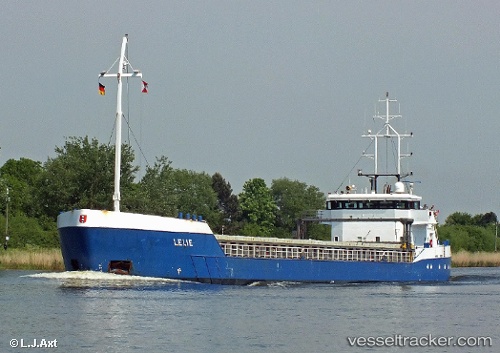
Find the position of the vessel Lelie C on the map. The latter are known coordinates and path.
marine traffic ship tracker show on live map
The current position of vessel Lelie C is 58.92982 lat / 5.58448 lng. Updated: 2025-10-08 02:39:46 UTCCurrently sailing under the flag of Netherlands
Lelie C built in 2000 year
Deadweight:
3697 tDetails:
Last coordinates of the vessel:
UTC, 58.92985, 5.58451, course: 303, speed: 0UTC, 58.92984, 5.58450, course: 303, speed: 0
UTC, 58.92983, 5.58451, course: 303, speed: 0
2025-10-08 02:39:46 UTC, 58.92982, 5.58448, course: 303, speed: 0