 vesseltracker.com
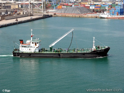
Vessel Punta Rossa IMO: 8420335, MMSI: 247114600 Service Ship
UTC, 37.23566, 15.19367, course: -1, speed: 0
UTC, 37.23567, 15.19366, course: -1, speed: 0
2026-01-16 06:31:25 UTC, 37.23566, 15.19367, course: -1, speed: 0
Live AIS position:
UTC. Near Augusta),
updated 2026-01-16 06:31:25 UTC.
Find the position of the vessel Punta Rossa on the map. The latter are known coordinates and path.
marine traffic ship tracker show on live map
The current position of vessel Punta Rossa is 37.23566 lat / 15.19367 lng. Updated: 2026-01-16 06:31:25 UTCCurrently sailing under the flag of Italy
Details:
Last coordinates of the vessel:
UTC, 37.23566, 15.19368, course: -1, speed: 0UTC, 37.23566, 15.19367, course: -1, speed: 0
UTC, 37.23567, 15.19366, course: -1, speed: 0
2026-01-16 06:31:25 UTC, 37.23566, 15.19367, course: -1, speed: 0