 vesseltracker.com
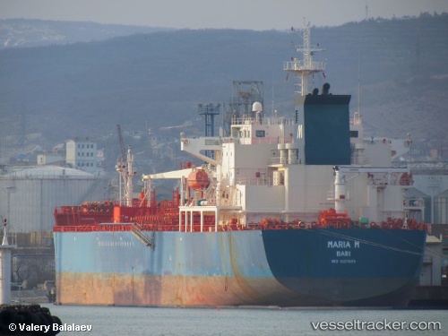
Vessel Maria M IMO: 9301885, MMSI: 247182500 Chemical Oil Products Tanker
UTC, 39.10075, 17.89352, course: 35, speed: 12.8
UTC, 39.49480, 18.27272, course: 35, speed: 11.7
2026-01-29 13:26:47 UTC, 39.64943, 18.43073, course: 41, speed: 11.7
Live AIS position:
UTC. Near Leuca),
updated 2026-01-29 13:26:47 UTC.
Find the position of the vessel Maria M on the map. The latter are known coordinates and path.
marine traffic ship tracker show on live map
The current position of vessel Maria M is 39.64943 lat / 18.43073 lng. Updated: 2026-01-29 13:26:47 UTCCurrently sailing under the flag of Italy
Maria M built in 2006 year
Deadweight:
40057 tDetails:
Last coordinates of the vessel:
UTC, 38.63663, 17.45060, course: 33, speed: 12.2UTC, 39.10075, 17.89352, course: 35, speed: 12.8
UTC, 39.49480, 18.27272, course: 35, speed: 11.7
2026-01-29 13:26:47 UTC, 39.64943, 18.43073, course: 41, speed: 11.7